
Obtaining accurate land surveying is a necessary step in developing real estate properties. Without it, it is not possible to determine whether the property is a good investment, and if it is, the amount of money that will be required to fix any problems that may arise.
Location survey
Accurate land surveying plays a major role in real estate development. It is an essential part of buying and selling a property. You may also need a survey for a construction project.
A land survey helps to establish boundaries on a piece of property. This can be accomplished by using a variety of techniques. The methods vary according to the shape, size, and legal description of the land.
In general, a survey is a physical inspection of the land that produces detailed maps. Surveyors use sensors to capture data from the air or at ground level. These include LiDAR, or light detection and ranging, which is a form of remote sensing that uses satellites to create maps.
Using a survey can be especially important for property owners who plan to build a home. Having a survey can help you determine the exact location of your future home.
A survey can also help you decide whether or not you should develop your land. For example, it can give you an idea of the property boundaries so you can determine whether or not you need to subdivide the land.
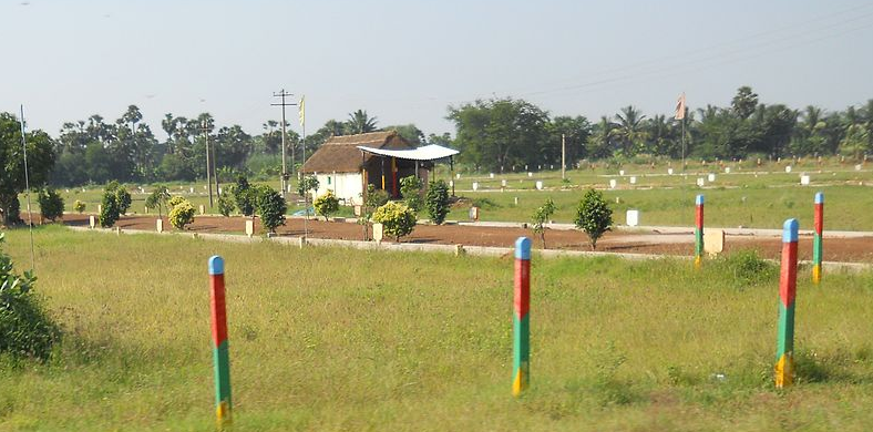
Site planning survey
When you want to buy or sell a property, obtaining a land survey is one of the best things you can do. Having an accurate site plan is essential to the development of your land. This will give you accurate information about the dimensions of your land and allow you to comply with building codes.
There are two types of land surveys, namely, topographic surveys and location surveys. Topographic surveys show where man-made and natural features are located on a given piece of land. These can include ponds, elevations, and rivers. Aside from showing the location of these features, they also provide information about utilities, such as power and water lines.
Location surveys, on the other hand, are mainly used by property owners for zoning permits and loan applications. They show the distance between improvements on a parcel of land and the property line. Some other details may be included, such as site improvements.
Whether you are planning to build a house or a commercial building, you’ll need a site plan. These plans are blueprints for new outdoor structures.
GPS geodetic quality satellite receiver
The use of GPS technology in land surveying has the potential to reduce the number of people needed to carry out the job. In addition, the data generated can be more accurate than conventional surveying methods.
A GPS receiver can calculate a four-dimensional position in spacetime, with Earth’s center as the origin. It can also determine time of flight values. Depending on the frequency of the receiver, the range of the satellite can be pinpointed to within about 30 centimeters (11.8 in).
However, the accuracy of the device depends on the receiver’s clock and the distance to the satellites. To ensure the accuracy of the instrument, it is essential to have a reference station in place. Typically, this is a station erected at a known location.
Cost
A land survey is an essential part of the real estate development process. It shows where structures will be built and what boundaries are. These surveys can be used to ensure that building projects meet local ordinances.
The cost of a land survey varies. The cost of a basic survey can range from $200 to $500. However, if a survey is conducted on a larger piece of land or if the property has a lot of terrain, it can cost much more.
In addition, the reason for the survey can also influence the costs. Taking a survey on a piece of land with many corners will take longer. Also, it will be more expensive to do a survey in areas with a high concentration of foliage.
Land surveys can also be useful for determining property lines, which can help prevent future disputes and encroachment. Some property lines are clearly marked by roads, while others are more obscure.